GeoViewpoint
Overview
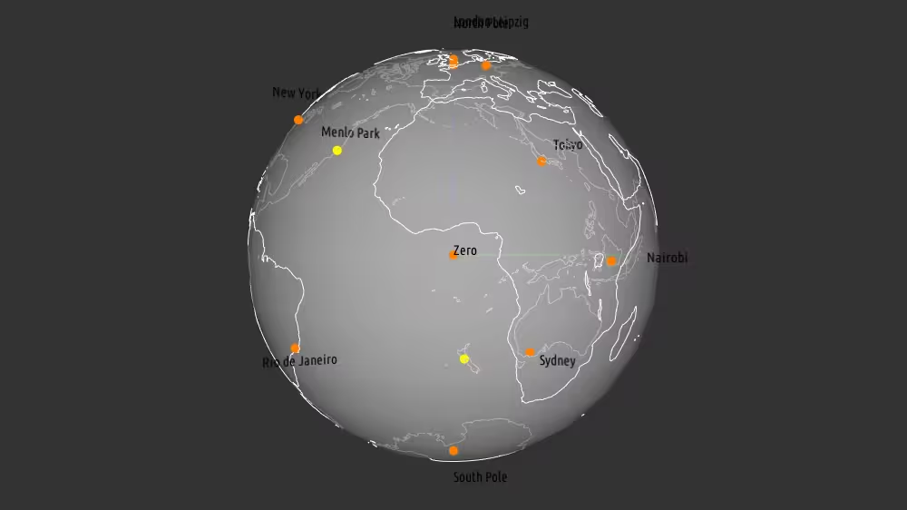
GeoViewpoint specifies viewpoints using geographic coordinates. GeoViewpoint can contain a GeoOrigin node. Since GeoViewpoint must navigate smoothly inside a curved geographic coordinate system, it includes both Viewpoint and NavigationInfo attributes.
The GeoViewpoint node belongs to the Geospatial component and requires at least support level 1, its default container field is children. It is available from X3D version 3.0 or higher.
Hierarchy
1
2
3
4
5
+ X3DNode
  + X3DChildNode
    + X3DBindableNode
      + X3DViewpointNode
        + GeoViewpoint
Fields
| Type | Access Type | Name | Default Value |
|---|---|---|---|
| SFNode | [in, out] | metadata | NULL |
| SFNode | [ ] | geoOrigin | NULL |
| MFString | [ ] | geoSystem | [ “GD”, “WE” ] |
| SFBool | [in] | set_bind | |
| SFString | [in, out] | description | ”” |
| SFVec3d | [in, out] | position | 0 0 100000 |
| SFRotation | [in, out] | orientation | 0 0 1 0 |
| SFVec3d | [in, out] | centerOfRotation | 0 0 0 |
| SFFloat | [in, out] | fieldOfView | π/4 |
| SFFloat | [in, out] | nearDistance | -1 |
| SFFloat | [in, out] | farDistance | -1 |
| SFBool | [in, out] | viewAll | FALSE |
| SFBool | [in, out] | jump | TRUE |
| SFBool | [in, out] | retainUserOffsets | FALSE |
| SFFloat | [ ] | speedFactor | 1 |
| SFBool | [out] | isBound | |
| SFTime | [out] | bindTime | |
| SFNode | [in, out] | navigationInfo | NULL |
SFNode [in, out] metadata NULL [X3DMetadataObject]
Information about this node can be contained in a MetadataBoolean, MetadataDouble, MetadataFloat, MetadataInteger, MetadataString or MetadataSet node.
Hint
SFNode [ ] geoOrigin NULL [GeoOrigin] (deprecated)
Optional single contained GeoOrigin node that can specify a local coordinate frame for extended precision.
Hint
Warning
- XML validation requires placement as first child node following contained metadata nodes (if any).
MFString [ ] geoSystem [ “GD”, “WE” ]
Identifies spatial reference frame: Geodetic (GD), Geocentric (GC), Universal Transverse Mercator (UTM). Supported values: “GD” “UTM” or “GC” followed by additional quoted string parameters as appropriate for the type.
Hints
- X3D Architecture 25.2.2 Spatial reference frames
- X3D Architecture 25.2.4 Specifying geospatial coordinates
- UTM is Universal Transverse Mercator coordinate system
Warning
- Deprecated values are GDC (replaced by GD) and GCC (replaced by GC).
SFBool [in] set_bind
set_bind true makes this node active, set_bind false makes this node inactive.
Warning
- It is an error to define this transient inputOnly field in an X3D file, instead only use it a destination for ROUTE events.
SFString [in, out] description “”
Author-provided prose that describes intended purpose of this node.
Hints
- Include space characters since a description is not a DEF identifier. Write short phrases that make descriptions clear and readable.
- Many XML tools substitute XML character references for special characters automatically if needed within an attribute value (such as & for & ampersand character, or " for “ quotation-mark character).
SFVec3d [in, out] position 0 0 100000 (-∞,∞)
position relative to local georeferenced coordinate system, in proper format.
SFRotation [in, out] orientation 0 0 1 0 (-∞,∞) or -1 1
Rotation of Viewpoint, relative to default -Z axis direction in local coordinate system.
Hint
- This is orientation change from default direction along the (minus) -Z axis. +Y axis is the up vector for the local area (the normal to the tangent plane on the ellipsoid), -Z points towards the north pole, and +X is east 1 0 0 -1.570796 always looks down.
Warning
- For VR/AR/MR/XR users wearing a head-mounted display (HMD), animating this field may induce motion sickness.
SFVec3d [in, out] centerOfRotation 0 0 0 (-∞,∞)
centerOfRotation specifies center point about which to rotate user’s eyepoint when in EXAMINE or LOOKAT mode.
SFFloat [in, out] fieldOfView π/4 (0,π)
Preferred minimum viewing angle from this viewpoint in radians, providing minimum height or minimum width (whichever is smaller). Small field of view roughly corresponds to a telephoto lens, large field of view roughly corresponds to a wide-angle lens.
SFFloat [in, out] nearDistance -1 -1 or (0,∞)
nearDistance defines minimum clipping plane distance necessary for object display.
Hints
- Overrides bound NavigationInfo avatarSize value, if any.
- Default value -1 means no effect on currently defined view frustum boundaries.
- Aliasing and Clipping
Warning
- nearDistance must be less than farDistance.
SFFloat [in, out] farDistance -1 -1 or (0,∞)
farDistance defines maximum clipping plane distance allowed for object display.
Hints
- Overrides bound NavigationInfo visibilityLimit value, if any.
- Default value -1 means no effect on currently defined view frustum boundaries.
- Aliasing and Clipping
Warning
- NearDistance must be less than farDistance.
SFBool [in, out] viewAll FALSE
Viewpoint is automatically adjusted to view all visible geometry. Typically centerOfRotation is shifted to center of current bounding box and view is zoomed in or out until all visible objects are viewed.
Hints
- No collision detection or proximity sensing occurs when zooming.
- When the value of the viewAll field is changed from TRUE to FALSE, no change in the current view occurs.
Warning
- If needed, near and far clipping planes shall be adjusted to allow viewing the entire scene.
SFBool [in, out] jump TRUE
Whether to transition instantly by jumping, or else smoothly animate to this Viewpoint.
SFBool [in, out] retainUserOffsets FALSE
Retain (true) or reset to zero (false) any prior user navigation offsets from defined viewpoint position, orientation.
SFFloat [ ] speedFactor 1 [0,∞)
speedFactor is a multiplier to modify the original elevation-based speed that is set automatically by the browser.
Hint
- speedFactor is a relative value and not an absolute speed as defined by NavigationInfo.
SFBool [out] isBound
Output event true gets sent when node becomes bound and activated, otherwise output event false gets sent when node becomes unbound and deactivated.
Warning
- It is an error to define this transient outputOnly field in an X3D file, instead only use it a source for ROUTE events.
SFTime [out] bindTime
Event sent reporting timestamp when node becomes active/inactive.
Warning
- It is an error to define this transient outputOnly field in an X3D file, instead only use it a source for ROUTE events.
SFNode [in, out] navigationInfo NULL [NavigationInfo]
The navigationInfo field defines a dedicated NavigationInfo node for this X3DViewpointNode. The specified NavigationInfo node receives a set_bind TRUE event at the time when the parent node is bound and receives a set_bind FALSE at the time when the parent node is unbound.
Hint
- Allows simple integration of custom navigation associated with each Viewpoint according to user needs at that location.
Advice
Hints
- Alternatively can use GeoLocation or GeoTransform as parent of a Viewpoint node to orient geospatial views.
- Include
<component name='Geospatial' level='1'/> - When a GeoViewpoint node is bound, it also overrides the currently bound NavigationInfo node in the scene and controls user navigation for smoother geospatial interaction.
- Background, Fog, GeoViewpoint, NavigationInfo, OrthoViewpoint, TextureBackground and Viewpoint are bindable nodes, meaning that no more than one of each node type can be active at a given time.
- GeoViewpoint OrthoViewpoint and Viewpoint share the same binding stack, so no more than one of these nodes can be bound and active at a given time.
- Regardless of viewpoint jump value at bind time, the relative viewing transformation between user’s view and defined position/orientation is stored for later use when un-jumping (returning to the viewpoint when subsequent viewpoint is unbound).
- Customizable design pattern for dedicated Viewpoint/NavigationInfo pair: <Viewpoint DEF=’SpecialView’/> <NavigationInfo DEF=’SpecialNav’/> <ROUTE fromNode=’SpecialView’ fromField=’isBound’ toNode=’SpecialNav’ toField=’set_bind’/>
- X3D Scene Authoring Hints, Viewpoints
Warnings
- Results are undefined if a bindable node (Background, Fog, NavigationInfo, OrthoViewpoint, TextureBackground, Viewpoint) is a contained descendant node of either LOD or Switch. Avoid this authoring pattern.
- Do not include GeoViewpoint OrthoViewpoint or Viewpoint as a child of LOD or Switch, instead use ViewpointGroup as parent to constrain location proximity where the viewpoint is available to user.
- GeoViewpoint navType and headlight fields were removed as part of X3D version 3.3, authors can instead use a NavigationInfo node for those fields in prior X3D versions 3.0, 3.1 or 3.2. Upgrading such legacy scenes to version 3.3 or greater is preferred and recommended.
- Avoid having GeoLocation or GeoTransform as a parent or ancestor node of GeoViewpoint, since multiple geospatial transformations then occur with unpredictable results.
Example
Browser Compatibility
| Castle Game Engine | FreeWRL | X_ITE X3D Browser | X3D-Edit | X3DOM |
|---|---|---|---|---|