GeoElevationGrid
Overview
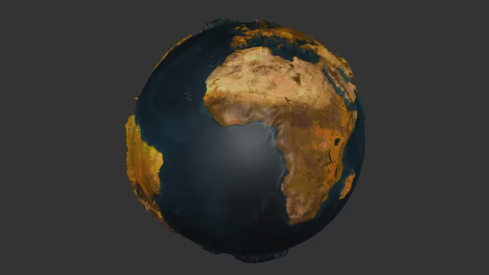
GeoElevationGrid is a geometry node defining a rectangular height field, with default values for a 1m by 1m square at height 0. Vertices corresponding to GeoElevationGrid height values define quadrilaterals, which are placed above or below a curved geospatial surface using geographic coordinates.
The GeoElevationGrid node belongs to the Geospatial component and requires at least support level 1, its default container field is geometry. It is available from X3D version 3.0 or higher.
Hierarchy
1
2
3
+ X3DNode
  + X3DGeometryNode
    + GeoElevationGrid
Fields
| Type | Access Type | Name | Default Value |
|---|---|---|---|
| SFNode | [in, out] | metadata | NULL |
| SFNode | [ ] | geoOrigin | NULL |
| MFString | [ ] | geoSystem | [ “GD”, “WE” ] |
| MFDouble | [in] | set_height | |
| SFVec3d | [ ] | geoGridOrigin | 0 0 0 |
| SFInt32 | [ ] | xDimension | 0 |
| SFInt32 | [ ] | zDimension | 0 |
| SFDouble | [ ] | xSpacing | 1 |
| SFDouble | [ ] | zSpacing | 1 |
| SFFloat | [in, out] | yScale | 1 |
| SFBool | [ ] | solid | TRUE |
| SFBool | [ ] | ccw | TRUE |
| SFDouble | [ ] | creaseAngle | 0 |
| SFBool | [ ] | colorPerVertex | TRUE |
| SFBool | [ ] | normalPerVertex | TRUE |
| SFNode | [in, out] | color | NULL |
| SFNode | [in, out] | texCoord | NULL |
| SFNode | [in, out] | tangent | NULL |
| SFNode | [in, out] | normal | NULL |
| MFDouble | [ ] | height | [ 0, 0 ] |
SFNode [in, out] metadata NULL [X3DMetadataObject]
Information about this node can be contained in a MetadataBoolean, MetadataDouble, MetadataFloat, MetadataInteger, MetadataString or MetadataSet node.
Hint
SFNode [ ] geoOrigin NULL [GeoOrigin] (deprecated)
Optional single contained GeoOrigin node that can specify a local coordinate frame for extended precision.
Hint
Warning
- XML validation requires placement as first child node following contained metadata nodes (if any).
MFString [ ] geoSystem [ “GD”, “WE” ]
Identifies spatial reference frame: Geodetic (GD), Geocentric (GC), Universal Transverse Mercator (UTM). Supported values: “GD” “UTM” or “GC” followed by additional quoted string parameters as appropriate for the type.
Hints
- X3D Architecture 25.2.2 Spatial reference frames
- X3D Architecture 25.2.4 Specifying geospatial coordinates
- UTM is Universal Transverse Mercator coordinate system
Warning
- Deprecated values are GDC (replaced by GD) and GCC (replaced by GC).
MFDouble [in] set_height (-∞,∞)
Contains xDimension rows * zDimension columns floating-point values for elevation above ellipsoid.
Hints
- height array values are in row-major order from west to east, south to north.
- GeoGridOrigin is in southwest (lower-left) corner of height dataset.
- This field is not accessType inputOutput since X3D browsers might use different underlying geometric representations for high-performance rendering, and so output events are not appropriate.
Warning
- It is an error to define this transient inputOnly field in an X3D file, instead only use it a destination for ROUTE events.
SFVec3d [ ] geoGridOrigin 0 0 0 (-∞,∞)
Geographic coordinate for southwest (lower-left) corner of height dataset.
SFInt32 [ ] xDimension 0 (0,∞)
Number of elements in the height array along east-west X direction.
Hint
- Total horizontal x-axis distance equals (xDimension-1) * xSpacing.
Warning
- xDimension < 2 means that GeoElevationGrid contains no quadrilaterals.
SFInt32 [ ] zDimension 0 (0,∞)
Number of elements in the height array along north-south Z direction.
Hint
- Total lateral z-axis distance equals (zDimension-1) * zSpacing.
Warning
- zDimension < 2 means that GeoElevationGrid contains no quadrilaterals.
SFDouble [ ] xSpacing 1 [0,∞)
Distance between grid-array vertices along east-west X direction.
Hints
- When geoSystem is GDC, xSpacing is number of degrees of longitude.
- When geoSystem is UTM, xSpacing is number of eastings (meters).
SFDouble [ ] zSpacing 1 [0,∞)
Distance between grid-array vertices along north-south Z direction.
Hints
- When geoSystem is GDC, zSpacing is number of degrees of latitude.
- When geoSystem is UTM, zSpacing is number of northings (meters).
SFFloat [in, out] yScale 1 [0,∞)
Vertical exaggeration of displayed data produced from the height array.
SFBool [ ] solid TRUE
Setting solid true means draw only one side of polygons (backface culling on), setting solid false means draw both sides of polygons (backface culling off).
Hints
- Mnemonic “this geometry is solid like a brick” (you don’t render the inside of a brick).
- If in doubt, use solid=’false’ for maximum visibility.
- AccessType relaxed to inputOutput in order to support animation and visualization.
Warning
- Default value true can completely hide geometry if viewed from wrong side!
SFBool [ ] ccw TRUE
ccw defines clockwise/counterclockwise ordering of vertex coordinates, which in turn defines front/back orientation of polygon normals according to Right-Hand Rule (RHR).
Hints
- A good debugging technique for problematic polygons is to try changing the value of ccw, which can reverse solid effects (single-sided backface culling) and normal-vector direction.
- Clockwise
Warning
- Consistent and correct ordering of left-handed or right-handed point sequences is important throughout the coord array of point values.
SFDouble [ ] creaseAngle 0 [0,∞)
creaseAngle defines angle (in radians) for determining whether adjacent polygons are drawn with sharp edges or smooth shading. If angle between normals of two adjacent polygons is less than creaseAngle, smooth shading is rendered across the shared line segment.
Hints
- creaseAngle=0 means render all edges sharply, creaseAngle=3.14159 means render all edges smoothly.
- Radian units for angular measure
Warning
- Note type double, unlike ElevationGrid creaseAngle.
SFBool [ ] colorPerVertex TRUE
Whether Color node color values are applied to each point vertex (true) or per quadrilateral (false).
Hint
SFBool [ ] normalPerVertex TRUE
Whether Normal node vector values are applied to each point vertex (true) or per quadrilateral (false).
Hint
- If no child Normal node is provided, the X3D browser shall automatically generate normals, using creaseAngle to determine smoothed shading across shared vertices.
SFNode [in, out] color NULL [X3DColorNode]
Optional single contained Color or ColorRGBA node that can specify color values applied to corresponding vertices according to colorPerVertex field.
SFNode [in, out] texCoord NULL [X3DTextureCoordinateNode]
Optional single contained TextureCoordinate, TextureCoordinateGenerator or MultiTextureCoordinate node that can specify coordinates for texture mapping onto corresponding geometry.
SFNode [in, out] tangent NULL [Tangent] non-standard
Input/Output field tangent. If there is no Tangent node, the MikkTSpace algorithm is used to generate tangent vectors.
SFNode [in, out] normal NULL [X3DNormalNode]
Optional single contained Normal node that can specify perpendicular vectors for corresponding vertices to support rendering computations, applied according to the normalPerVertex field.
Hint
- Useful for special effects. Normal vector computation by 3D graphics hardware is quite fast so adding normals to a scene is typically unnecessary.
Warning
- normal vectors increase file size, typically doubling geometry definitions. Normal vectors are rapidly computed at run time by GPUs and thus are rarely needed in model files if no special effects are expected.
MFDouble [ ] height [ 0, 0 ] (-∞,∞)
Contains xDimension rows * zDimension columns floating-point values for elevation above ellipsoid.
Hints
- height array values are in row-major order from west to east, south to north.
- GeoGridOrigin is in southwest (lower-left) corner of height dataset.
- Default values do not make sense, this is a specification erratum (Mantis 1447), be sure to change them.
- This field is not accessType inputOutput since X3D browsers might use different underlying geometric representations for high-performance rendering, and so output events are not appropriate.
Warning
- height array values are not retained or available at run time since a browser is permitted to condense geometry.
Advice
Hints
- The height array defines (xDimension-1)*(zDimension-1) quadrilaterals.
- Positive direction for normal of each triangle is on same side of the quadrilateral. Triangles are defined either counterclockwise or clockwise depending on value of ccw field.
- GeoElevationGrid can contain GeoOrigin, Color or ColorRGBA, Normal and TextureCoordinate nodes.
- Insert a Shape node before adding geometry or Appearance.
- X3D for Advanced Modeling (X3D4AM) slideset
Warnings
- Generated quadrilaterals can be nonplanar. Tessellation splits quadrilaterals into triangles along seam starting at initial vertex of the quadrilateral and proceeding to opposite vertex.
- Requires X3D
profile='Full'or else include<component name='Geospatial' level='1'/> - Avoid having GeoLocation or GeoTransform as a parent or ancestor node of GeoElevationGrid, since multiple geospatial transformations then occur with unpredictable results.
Example
Browser Compatibility
| Castle Game Engine | FreeWRL | X_ITE X3D Browser | X3D-Edit | X3DOM |
|---|---|---|---|---|